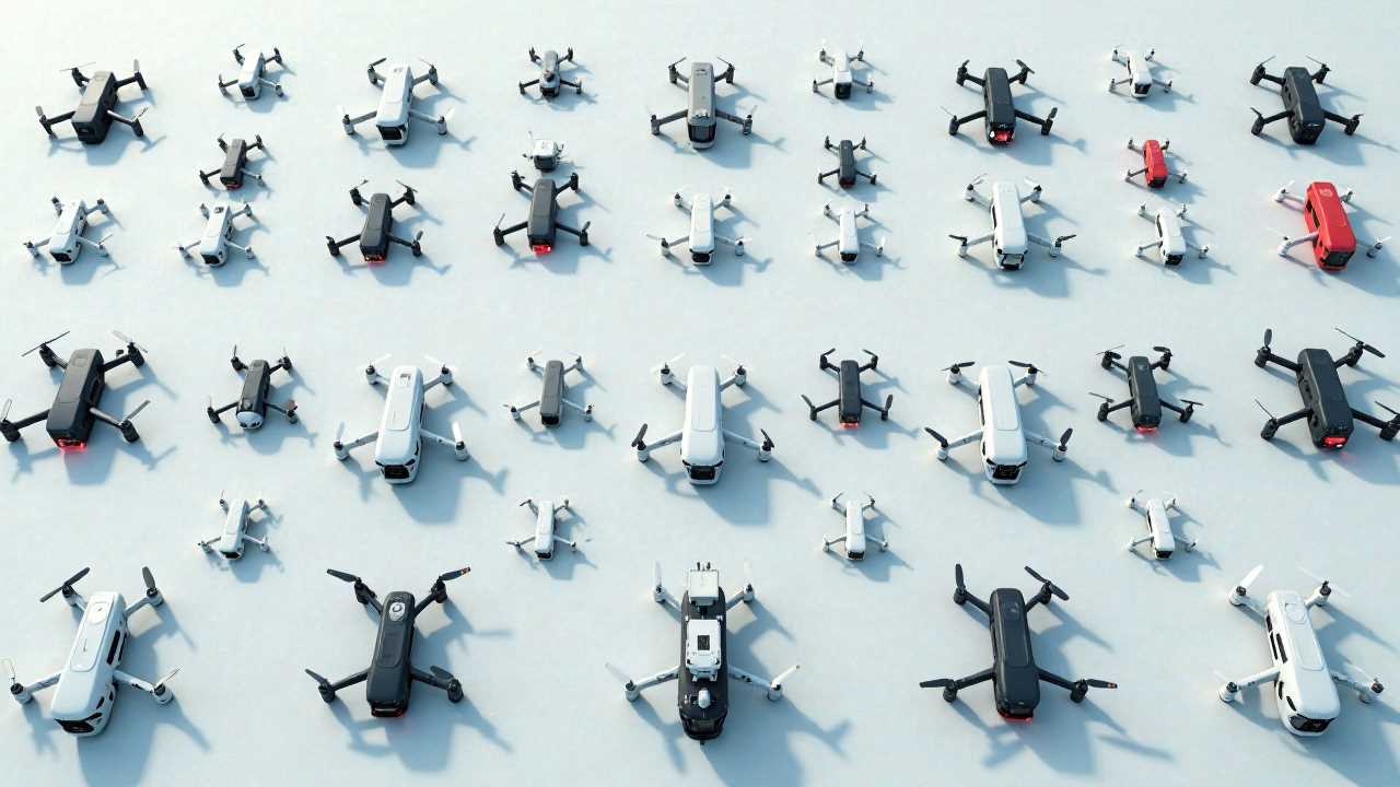
Understanding Aerial Data Collection
Aerial data collection has transformed the way we gather and analyze information about our environment. By utilizing advanced UAV technology, we can capture high-resolution aerial imagery and perform detailed geospatial mapping with unprecedented accuracy. This method of data collection is not only efficient but also cost-effective, making it an invaluable tool across various industries, including agriculture, construction, and environmental monitoring.
The Role of Drone Surveying in Aerial Data Collection
Drone surveying is at the forefront of aerial data collection. Drones equipped with sophisticated sensors and cameras can cover large areas in a fraction of the time it would take traditional surveying methods. These unmanned aerial vehicles (UAVs) provide a bird's-eye view, allowing for comprehensive data gathering that is both detailed and expansive. The integration of remote sensing technology enables drones to collect data that is not visible to the naked eye, such as thermal imaging and multispectral data, which are crucial for various applications.
Benefits of Aerial Imagery in Data Collection
The use of aerial imagery in data collection offers numerous advantages. High-resolution images captured by drones can reveal intricate details about the landscape, infrastructure, and vegetation. This information is essential for urban planning, environmental assessments, and disaster management. By analyzing aerial imagery, stakeholders can make informed decisions based on real-time data, enhancing their ability to respond to changes in the environment swiftly.
Remote Sensing: A Game Changer in Data Analysis
Remote sensing plays a pivotal role in aerial data collection. By employing various sensors, drones can gather data from a distance, reducing the need for physical presence in potentially hazardous or hard-to-reach areas. This technology allows for the monitoring of environmental changes, such as deforestation, land use changes, and water quality assessments. The data collected through remote sensing can be processed and analyzed to generate valuable insights that inform policy-making and resource management.
Geospatial Mapping: Precision and Accuracy
Geospatial mapping is another critical component of aerial data collection. Drones equipped with GPS and advanced imaging technology can create highly accurate maps that are essential for various applications. Whether it's mapping topography for construction projects or creating detailed land use maps for urban planning, the precision offered by drone technology is unparalleled. The ability to produce 3D models and orthomosaics enhances the understanding of spatial relationships and aids in effective decision-making.
Flight Planning: Ensuring Successful Data Collection
Effective flight planning is vital for successful aerial data collection. Prior to launching a drone, careful consideration must be given to the flight path, altitude, and timing. Factors such as weather conditions, sunlight angles, and the specific objectives of the data collection mission must be taken into account. By optimizing flight plans, we can ensure that the data collected is of the highest quality and meets the intended goals.
Applications of Aerial Data Collection Across Industries
The applications of aerial data collection are vast and varied. In agriculture, farmers use drone technology to monitor crop health, assess irrigation needs, and optimize yields. In construction, aerial data collection aids in site surveys, progress monitoring, and safety assessments. Environmental agencies utilize this technology for wildlife monitoring, habitat assessments, and disaster response planning. The versatility of aerial data collection makes it an indispensable tool in today's data-driven world.
Future Trends in Aerial Data Collection
As technology continues to advance, the future of aerial data collection looks promising. Innovations in drone technology, such as improved battery life, enhanced sensors, and AI-driven data analysis, will further enhance the capabilities of aerial data collection. The integration of machine learning algorithms will allow for more sophisticated data interpretation, enabling stakeholders to derive actionable insights from the collected data. As industries increasingly adopt these technologies, we can expect a significant shift in how data is collected, analyzed, and utilized.
In summary, aerial data collection through drone surveying and UAV technology is revolutionizing the way we gather and analyze information. With the ability to capture high-quality aerial imagery, perform precise geospatial mapping, and utilize remote sensing, this technology offers unparalleled advantages across various sectors. As we continue to refine our flight planning and data collection methods, the potential for aerial data collection will only grow, paving the way for more informed decision-making and enhanced operational efficiency.
 GadgetsProduct ReviewsSmart DevicesDronesVirtual DevicesPrivacy PolicyTerms And Conditions
