Understanding GPS Guidance in Drone Technology
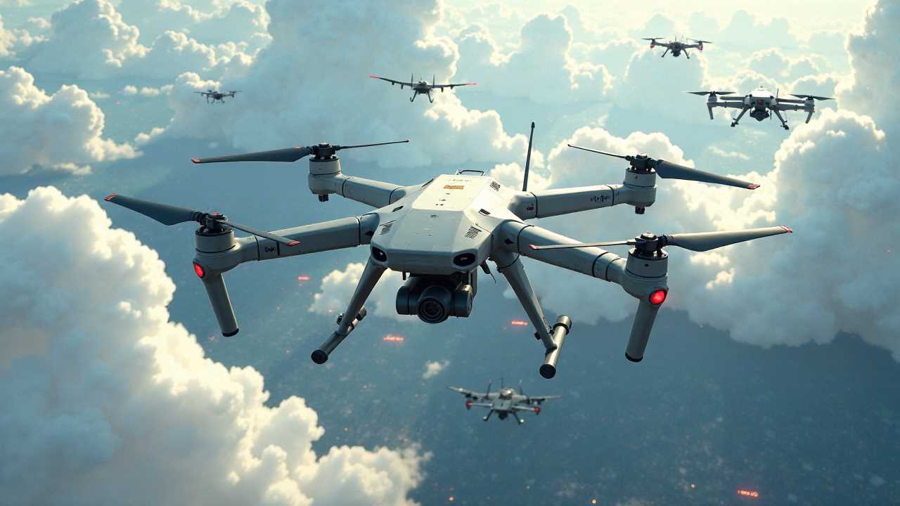
GPS guidance serves as the backbone of modern drone technology, enabling precise drone navigation across various applications. By utilizing a network of satellites, drones can determine their exact location on Earth, allowing for accurate aerial positioning. This technology is not only vital for recreational flying but also plays a significant role in commercial operations, such as surveying, agriculture, and search and rescue missions.
The integration of GPS guidance into drone systems has transformed the way we approach aerial tasks. With the ability to receive real-time data, drones can autonomously navigate complex environments, making them invaluable tools in various industries.
The Role of Aerial Positioning in Drone Operations
Aerial positioning is a critical component of effective drone navigation. It involves the use of GPS data to establish a drone's altitude and geographical location. This information is essential for executing tasks such as mapping, monitoring, and inspection.
For instance, in agricultural applications, drones equipped with GPS can efficiently survey large fields, providing farmers with insights into crop health and soil conditions. By accurately positioning themselves in the air, drones can capture high-resolution images and data, leading to better decision-making and resource management.
Flight Path Optimization: Enhancing Efficiency
Flight path optimization is another vital aspect of GPS guidance. By analyzing the terrain and environmental factors, drones can determine the most efficient routes to complete their missions. This not only saves time but also conserves battery life, allowing for longer flight durations.
Advanced algorithms can calculate the best flight paths by considering factors such as wind speed, obstacles, and no-fly zones. This optimization process ensures that drones can navigate safely and effectively, minimizing the risk of accidents and maximizing productivity.
Autonomous Routing: The Future of Drone Navigation
The advent of autonomous routing has revolutionized drone navigation. With the help of GPS guidance, drones can operate independently, following pre-defined routes without human intervention. This capability is particularly beneficial in scenarios where human pilots may face challenges, such as hazardous environments or remote locations.
Autonomous drones can be programmed to execute complex missions, including delivery services, infrastructure inspections, and environmental monitoring. By relying on GPS data, these drones can adapt to changing conditions and make real-time decisions, enhancing their operational efficiency.
Geospatial Tracking: Real-Time Monitoring and Data Collection
Geospatial tracking is an essential feature of GPS-guided drones. This technology allows operators to monitor the drone's location in real-time, providing valuable insights into its performance and mission progress.
In industries such as construction and logistics, geospatial tracking enables project managers to oversee operations more effectively. By visualizing the drone's path and data collection points, teams can ensure that tasks are completed as planned and make adjustments as necessary.
Waypoint Management: Precision in Navigation
Waypoint management is a crucial element of GPS guidance that allows operators to define specific points for the drone to navigate to during its flight. By setting waypoints, users can create detailed flight plans that enhance the drone's efficiency and accuracy.
This feature is particularly useful in applications such as aerial photography, where precise positioning is essential for capturing high-quality images. By programming waypoints, photographers can ensure that their drones follow the desired path, resulting in stunning visuals and comprehensive coverage of the target area.
Integrating GPS Guidance with Advanced Technologies
The integration of GPS guidance with other advanced technologies has further enhanced drone capabilities. For example, combining GPS with computer vision allows drones to recognize and avoid obstacles in real-time. This synergy enables safer operations, particularly in urban environments where navigating around buildings and power lines is critical.
Moreover, the use of artificial intelligence (AI) in conjunction with GPS guidance can improve decision-making processes. AI algorithms can analyze data collected by drones and suggest optimal flight paths, enhancing overall mission success rates.
The Future of GPS Guidance in Drone Technology
As technology continues to evolve, the future of GPS guidance in drone navigation looks promising. Innovations such as improved satellite systems, enhanced sensors, and more sophisticated algorithms will further refine the accuracy and reliability of drone operations.
The potential applications for GPS-guided drones are vast, ranging from environmental monitoring to disaster response. As industries increasingly adopt drone technology, mastering GPS guidance will be essential for maximizing the benefits these aerial vehicles offer.
In summary, GPS guidance is a fundamental aspect of drone navigation that encompasses various elements such as aerial positioning, flight path optimization, autonomous routing, geospatial tracking, and waypoint management. By understanding and leveraging these components, we can unlock the full potential of drones in numerous fields, paving the way for a future where aerial technology plays a pivotal role in our daily lives.
 GadgetsProduct ReviewsSmart DevicesDronesVirtual DevicesPrivacy PolicyTerms And Conditions