Understanding Photogrammetry
Photogrammetry is a sophisticated technique that enables the extraction of three-dimensional information from two-dimensional images. By utilizing photographs taken from various angles, photogrammetry allows us to create accurate 3D models of objects, landscapes, and structures. This method is particularly valuable in fields such as aerial mapping, remote sensing, and geospatial analysis. The ability to convert images into precise measurements and models has revolutionized how we approach surveying and data collection.
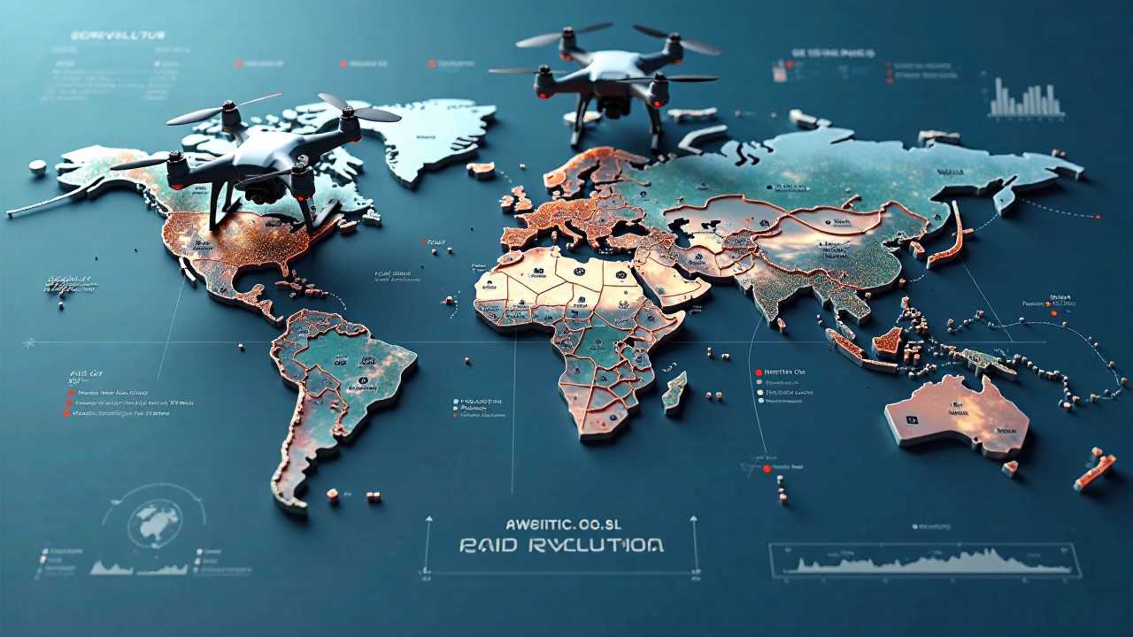
The Role of Drones in Photogrammetry
Drones have emerged as a game-changer in the field of photogrammetry. Equipped with high-resolution cameras and advanced sensors, drones can capture detailed images from the air, making them ideal for aerial mapping. The use of drones allows for the collection of data over large areas in a fraction of the time it would take using traditional surveying methods. This efficiency not only saves time but also reduces costs associated with data collection.
Drones can fly at various altitudes and angles, providing a comprehensive view of the terrain. This capability is particularly beneficial for remote sensing, where capturing data from hard-to-reach locations is often necessary. The integration of drones into photogrammetry has made it possible to gather data that was previously inaccessible, enhancing the accuracy and reliability of the information collected.
Advanced Surveying Techniques
Incorporating advanced surveying techniques into photogrammetry enhances the quality of the data obtained. Techniques such as ground control points (GCPs) and real-time kinematic (RTK) positioning significantly improve the accuracy of the models produced. GCPs are reference points on the ground with known coordinates, which help in calibrating the aerial images. RTK positioning allows for real-time corrections, ensuring that the data collected is as precise as possible.
These techniques are essential for applications in various industries, including construction, mining, and environmental monitoring. By employing advanced surveying methods, we can achieve a higher level of detail and accuracy in our geospatial analysis, leading to better decision-making and project outcomes.
Image Processing in Photogrammetry
The process of image processing is a critical component of photogrammetry. Once the images are captured, they undergo a series of processing steps to create usable 3D models. Software tools analyze the images, identifying common points and features to stitch them together into a cohesive model. This process often involves the use of algorithms that enhance image quality and correct for distortions.
Post-processing techniques can also be applied to refine the models further. For instance, texture mapping adds realistic surface details to the 3D models, making them visually appealing and informative. The integration of image processing with photogrammetry not only improves the aesthetic quality of the models but also enhances their functional utility in various applications.
Applications of Photogrammetry
The applications of photogrammetry are vast and varied. In the field of aerial mapping, it is used to create detailed topographic maps that are essential for urban planning, land use management, and environmental assessments. The accuracy of these maps is crucial for stakeholders involved in development projects, ensuring that decisions are based on reliable data.
In 3D modeling, photogrammetry is employed in architecture and heritage conservation. By creating accurate models of buildings and historical sites, professionals can analyze structural integrity, plan restorations, and preserve cultural heritage. These models serve as valuable resources for architects, engineers, and historians alike.
Remote sensing applications also benefit significantly from photogrammetry. By combining aerial imagery with other data sources, researchers can monitor environmental changes, assess natural resources, and conduct land cover classification. This information is vital for managing ecosystems and addressing environmental challenges.
The Future of Photogrammetry
As technology continues to advance, the future of photogrammetry looks promising. The integration of artificial intelligence and machine learning into image processing will further enhance the accuracy and efficiency of data collection and analysis. These innovations will enable us to process vast amounts of data quickly, making photogrammetry an even more powerful tool in various industries.
Moreover, the increasing accessibility of drone technology will democratize the use of photogrammetry, allowing smaller organizations and individuals to harness its benefits. As more professionals adopt these techniques, we can expect to see a significant transformation in how we approach surveying, mapping, and data analysis.
Mastering photogrammetry through the use of drones, advanced surveying techniques, and image processing is essential for anyone involved in aerial mapping, 3D modeling, and geospatial analysis. The ability to capture and analyze data accurately and efficiently has transformed various industries, providing valuable insights and enhancing decision-making processes. As we continue to innovate and improve these techniques, the potential applications of photogrammetry will expand, paving the way for a more informed and data-driven future.
 GadgetsProduct ReviewsSmart DevicesDronesVirtual DevicesPrivacy PolicyTerms And Conditions