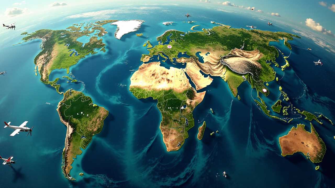
Understanding Multispectral Imaging
Multispectral imaging is a transformative technology that captures image data at specific wavelengths across the electromagnetic spectrum. This process allows us to analyze and interpret various features of the Earth’s surface, making it an invaluable tool in agriculture, remote sensing, and geospatial surveying. By utilizing multispectral imaging, we can gather detailed information about crop health, soil conditions, and environmental factors, leading to more informed decision-making in agricultural practices.
The Role of Aerial Platforms in Multispectral Imaging
Aerial platforms, particularly drones, have revolutionized the way we conduct remote sensing and geospatial surveying. Equipped with multispectral sensors, these drones can cover vast areas quickly and efficiently, collecting high-resolution data that was previously difficult to obtain. The ability to fly at low altitudes allows for detailed imagery that can reveal subtle variations in crop health and soil moisture levels.
Drones equipped with multispectral cameras can capture images in different spectral bands, including visible light, near-infrared, and shortwave infrared. This capability enables us to create vegetation indices, such as the Normalized Difference Vegetation Index (NDVI), which provides insights into plant health and vigor. By analyzing these indices, farmers can identify areas of stress within their fields, allowing for targeted interventions that optimize yield and resource use.
Hyperspectral Imaging: A Step Beyond Multispectral
While multispectral imaging captures data across a limited number of spectral bands, hyperspectral imaging takes this a step further by collecting information across hundreds of contiguous bands. This increased spectral resolution allows for more precise identification of materials and conditions on the ground. In agriculture, hyperspectral imaging can be used to detect diseases, pests, and nutrient deficiencies at an early stage, enabling proactive management strategies.
The integration of hyperspectral imaging with drone technology enhances our ability to monitor crops and soil health. By analyzing the spectral signatures of different materials, we can gain insights into the chemical composition of plants and soils, leading to more effective fertilization and pest management practices.
Geospatial Analysis and Data Integration
The data collected through multispectral and hyperspectral imaging can be integrated with other geospatial datasets to create comprehensive maps and models. Geographic Information Systems (GIS) play a crucial role in this process, allowing us to visualize and analyze spatial relationships between various factors affecting agriculture.
By combining multispectral imaging data with soil maps, weather data, and historical yield information, we can develop predictive models that inform future agricultural practices. This holistic approach enables farmers to make data-driven decisions, optimizing resource allocation and improving overall productivity.
Applications of Multispectral Imaging in Agriculture
The applications of multispectral imaging in agriculture are vast and varied. Here are some key areas where this technology is making a significant impact:
1. Crop Health Monitoring: Regular monitoring of crop health using multispectral imaging allows farmers to identify stress factors early, such as water scarcity, nutrient deficiencies, or pest infestations. This timely intervention can lead to improved yields and reduced losses.
2. Precision Agriculture: By utilizing multispectral data, farmers can implement precision agriculture techniques that optimize inputs like water, fertilizers, and pesticides. This targeted approach not only enhances productivity but also minimizes environmental impact.
3. Irrigation Management: Multispectral imaging can help assess soil moisture levels and identify areas that require irrigation. This information is crucial for efficient water management, particularly in regions facing water scarcity.
4. Yield Prediction: Analyzing multispectral data throughout the growing season allows for more accurate yield predictions. This information is vital for planning harvests and managing supply chains effectively.
5. Soil Health Assessment: Understanding soil health is fundamental to sustainable agriculture. Multispectral imaging can provide insights into soil composition and structure, helping farmers make informed decisions about soil management practices.
Challenges and Future Directions
Despite the numerous benefits of multispectral imaging, there are challenges that must be addressed. Data processing and analysis require specialized skills and software, which may not be readily available to all farmers. Additionally, the cost of drone technology and multispectral sensors can be a barrier for smaller operations.
As technology continues to advance, we can expect improvements in the accessibility and affordability of multispectral imaging solutions. The integration of artificial intelligence and machine learning algorithms will enhance data analysis capabilities, allowing for more accurate and actionable insights.
Furthermore, as the agricultural sector increasingly embraces digital transformation, the demand for multispectral imaging will continue to grow. Collaborative efforts between technology providers, agricultural researchers, and farmers will be essential in driving innovation and ensuring that the benefits of this technology are realized across the industry.
Multispectral imaging stands at the forefront of agricultural innovation, offering powerful tools for remote sensing and geospatial surveying. By harnessing the capabilities of aerial platforms and advanced imaging techniques, we can revolutionize the way we approach agriculture. The insights gained from multispectral data empower farmers to make informed decisions that enhance productivity, sustainability, and resilience in the face of changing environmental conditions. As we continue to explore the potential of this technology, the future of agriculture looks promising, driven by data and innovation.
 GadgetsProduct ReviewsSmart DevicesDronesVirtual DevicesPrivacy PolicyTerms And Conditions
